Old maps, new warning: geologists trace 200 years of the Yamuna’s decline in Delhi
Using maps from 1799 alongside satellite imagery, geologists have reconstructed 200 years of change in the Yamuna's width and flow through Delhi.
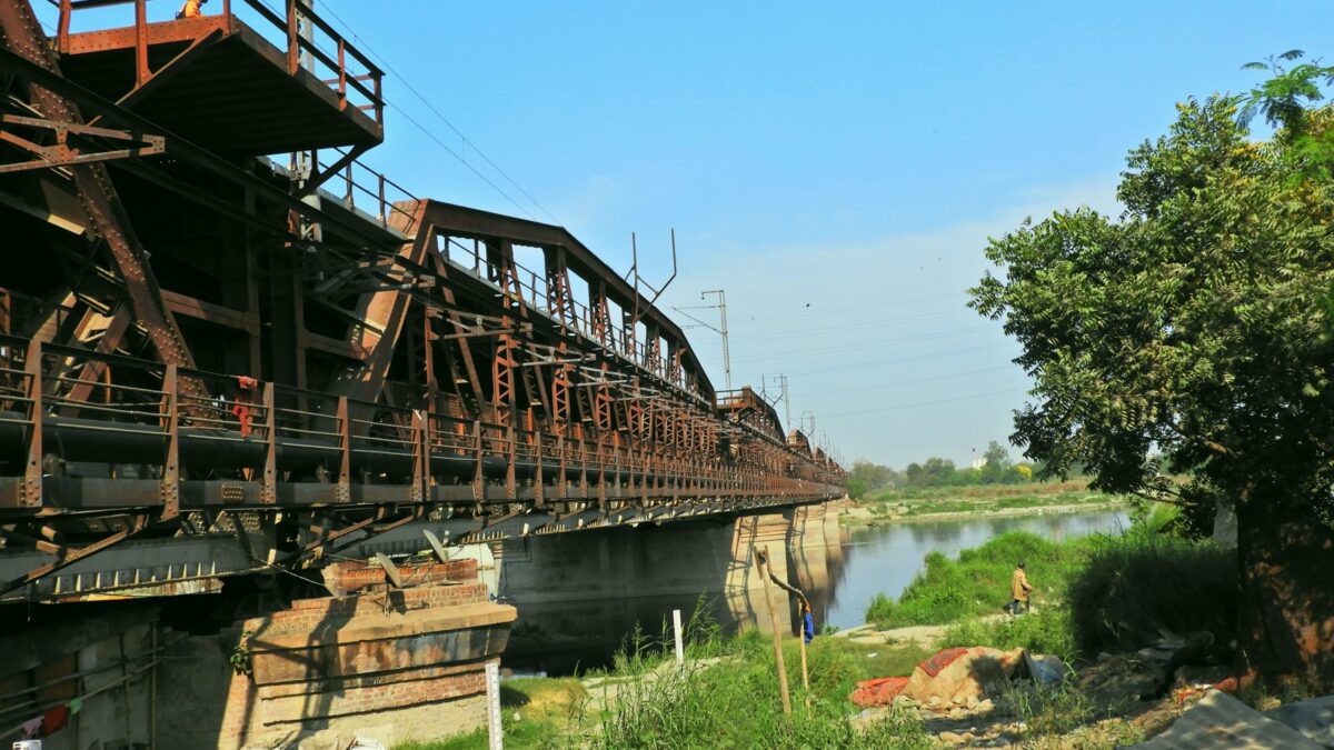
To find out how much Delhi’s stretch of the Yamuna has changed, a team of geologists went back more than two centuries — pulling together maps drawn in 1799, old topographic surveys and modern satellite imagery to reconstruct the river’s history along its 50-km path through the capital. The resulting study, from researchers at Delhi University and the Indian Institute of Science Education and Research (IISER), Bhopal, found the river is a fraction of what it once was.
According to the study, published in the Journal of Geological Society of India, the Yamuna’s average width in Delhi has shrunk by close to 68%, from around 658 metres in 1799 to about 210 metres now, while its estimated discharge has fallen by 89%, from nearly 30,000 cubic metres per second to around 3,900 cubic metres per second since the late 18th century.
The researchers link the decline to a series of engineering interventions rather than climate change, beginning with the British-era Tajewala and Okhla barrages built in the 1870s and continuing through later structures such as the Wazirabad, ITO and Hathnikund barrages. Professor Vimal Singh of Delhi University’s geology department, one of the authors, said the barrages and canals upstream mean ‘water gets diverted and the river itself has little water downstream.’
Singh also pointed to how the city’s growth has reshaped the floodplain itself. With serious flooding now limited to around 15 days to a month a year, he said, the rest of the floodplain came to be viewed as open land. ‘People started seeing this as vacant land and started encroaching upon it,’ he said, adding that embankments built to protect this land have narrowed the river further — a pattern, he noted, ‘happening all over the world.’
The study’s map-and-satellite approach also revealed that about a third of Delhi’s floodplains have become disconnected from the river over the past century, and that river islands and channel bars shrank from roughly 20 square kilometres in 1985 to about 4 square kilometres by 2020. The authors say this narrowing helps explain why the 2023 floods produced Delhi’s highest-ever recorded water level despite a lower peak discharge than the 1978 flood — with embankments preventing the water from spreading sideways and forcing it higher within a tighter channel.
Along with Singh, the study was authored by professors Sampat Kumar Tandon and Tanya of Delhi University’s geology department and Kumar Gaurav of IISER Bhopal, who caution that the oldest maps used vary in reliability and that their findings should be read as reconstructions rather than exact historical measurements.
Image credit: Wikimedia Commons/by Goutam1962

Leave a Reply